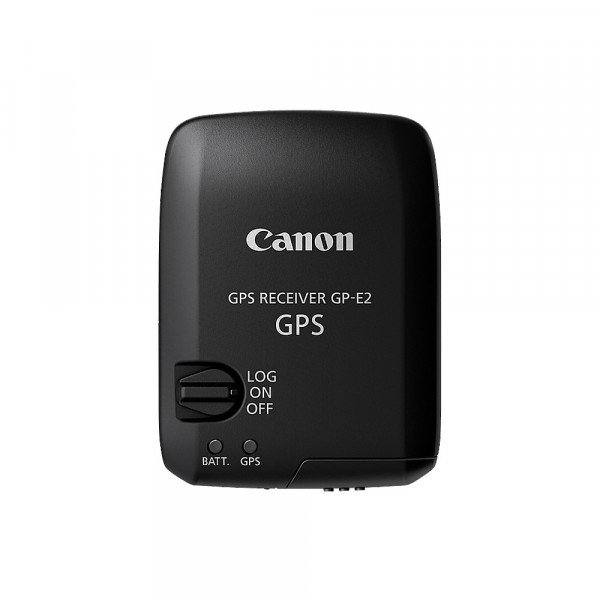
Prices incl. VAT plus shipping costs
Delivery time Anfrage Workdays
The article can be wrapped as gift. You can choose from various wrapping options.
Advantages
The GP-E2 GPS receiver offers both the determination of location data (GPS logging) and the marking of images with this information (GPS tagging), so you can always see where the image was taken. The unit is universal and can be used with the EOS 5D Mark III and also future EOS models.
It connects to the camera in two ways: Directly on the accessory shoe, transmitting GPS data via the accessory shoe contact (compatible cameras only), or on a mount on the camera with data transmitted via cable connection. Connected to the camera, latitude, longitude and altitude data, as well as direction and coordinated universal time (UTC) are transmitted and stored in the corresponding fields of the EXIF data.
The unit can also be used in a third way, not connected to the camera - but in the camera or trouser pocket. Although the GPS receiver does not transfer the data from there to the camera, it generates a log file that stores the location information of your trip. The location is queried and stored according to preset intervals ranging from "every second" to "every five minutes". The data can then be linked and displayed using the included Map Utility software. Map Utility displays a map on which your GPS data is entered and allows you to assign your recordings to the respective entry. This then transfers the GPS data into the EXIF fields in the image file. If you use the GP-E2 in this way and with the Map Utility software, the unit can also be used with all digital EOS cameras
In logging mode, GPS data is recorded to internal memory. The smaller the GP-E2's logging intervals, the faster the internal memory space is used. However, with the factory-set interval of 15 seconds and a working time of 8 hours per day, the unit provides a total of about two months' worth of memory data.
GPS receiver
The GP-E2 searches for the satellite signal with its highly sensitive GPS receiver. Under good conditions, a correspondingly strong signal is detected about 30 to 60 seconds after switching on. After that, the GP-E2 remains on standby. The highly sensitive receiver allows the GP-E2 to be used even in so-called "urban canyons", i.e. in the city with tall buildings.
Digital compass
A geomagnetic sensor for determining the direction of the compass and a sensor for taking movement into account are also integrated into the GP-E2. This makes the data even more accurate when used in conjunction with a camera, and when it is later displayed on the map, it is even possible to determine the viewing direction of the shot. The information from the two sensors is recorded together with the GPS location data. The camera's direction of view can be displayed on the LCD monitor at any time, both in the electronic display and when recording in live image mode.
Automatic time setting
GPS stall rents transmit very accurate atomic time UTC (coordinated universal time) data in addition to geodata. These can be used to also synchronize the time of the connected camera via the GP-E2 receiver. This way the camera always shows the correct time - no matter where in the world you are.
Map Utility
The GP-E2 comes with the "Map Utility" software. When the GP-E2 is used in logging mode, the data is stored in NMEA-0813 format, which is compatible with many GPS terminals. Google Earth and similar software do not support the NMEA-0813 format; these systems work with KMZ data. The Map Utility software is not only capable of displaying the recorded GPS data on a map - it can also convert the NMEA-0813 data to KMZ so that it can be used with other mapping applications.